About this Item
BRITISH ISLANDS. MAGNIFICENT SEA CHART OF THE BRITISH ISLES AS WELL AS THE NEIGHBOURING ISLANDS, INCLUDING THE COASTS OF SCANDINAVIA, BELGIUM, THE NETHERLANDS AND GERMANY. Amsterdam 1675. (570 x 500) contemporary colored as well as the images of ships at sea and the coats of arms of the various islands. On the map there are two beautiful cartouches with the following text " NOORT - ZEE OM ACHTER YRLAND EN SCHOTLAND TE SEYLEN en MARE GERMANICUM AC TRACTATUS MARITIMUS RETRO HIBERNAM & SCOTIAM. Apud Frederick De Wit. Seller Inventory # 000586
Bibliographic Details
Title: 
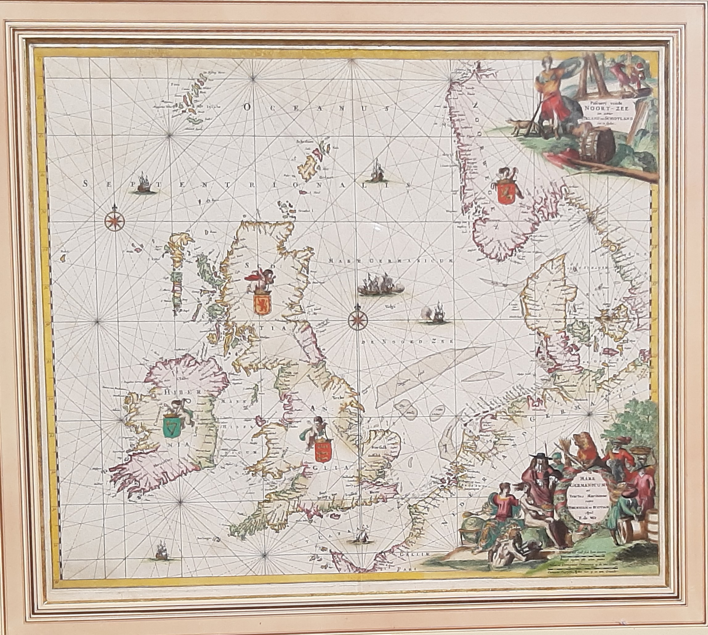
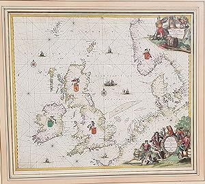
British Islands, Scandinavia, Belgium, The ...
Publisher: Frederick De Wi, AMSTERDAM
Publication Date: 1675
Binding: No Binding
Condition: Very Good
Store Description
We guarantee the condition of every book as it's described on the Abebooks web sites. If you're dissatisfied with your purchase (Incorrect Book/Not as Described/Damaged) or if the order hasn't arrived, you're eligible for a refund within 30 days of the estimated delivery date. If you've changed your mind about a book that you've ordered, please use the Ask bookseller a question link to contact us and we'll respond within 2 business days.
Shipping costs are based on books weighing 2.2 LB, or 1 KG. If your book order is heavy or oversized, we may contact you to let you know extra shipping is required.
Payment Methods
accepted by seller
Bank/Wire Transfer