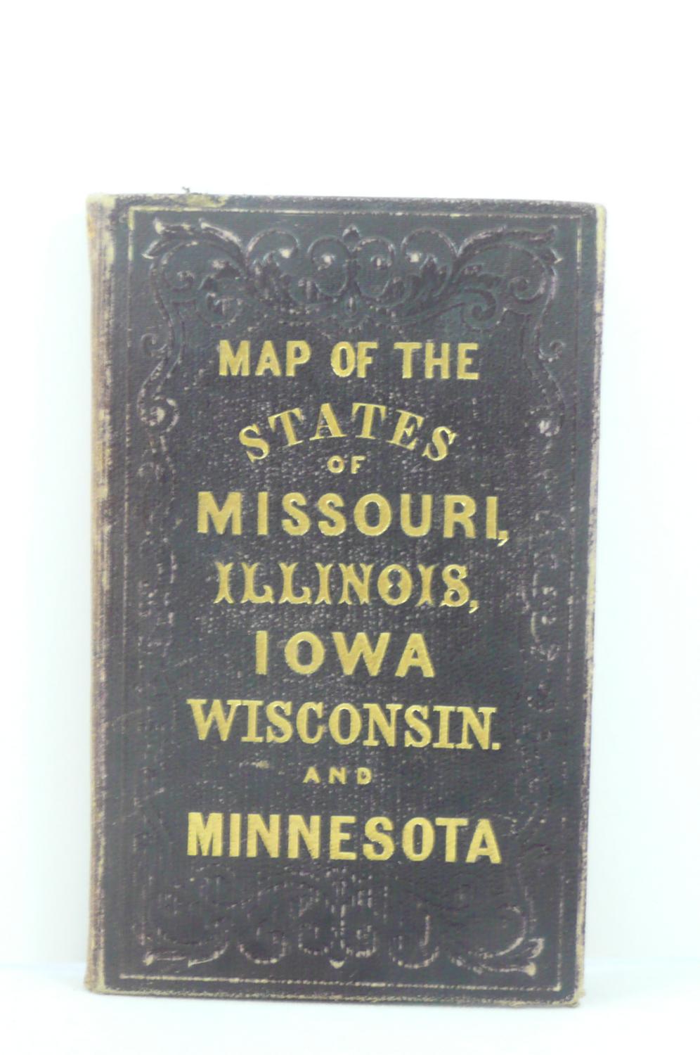
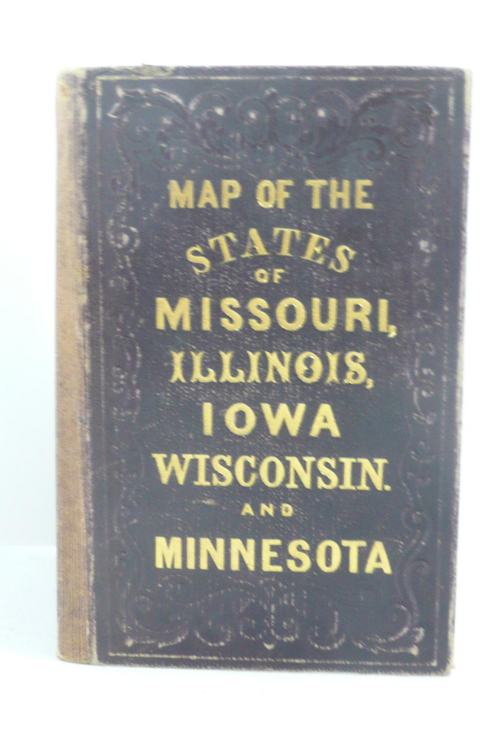
LIVE OAK BOOKSELLERS sells its select used, out-of-print, and rare books in two different venues: on the world wide web at ABEBOOKS.COM, and at local and regional Book Fairs. Please call us for further information about either of these venues.
LIVE OAK BOOKSELLERS is prepared to buy good books in all fields from individual items to whole collections. We are particularly interested in books on THE PACIFIC NORTHWEST (including Western Canada and Alaska), TECHNICAL BOOKS, NATURAL HISTORY, GEOLOGY, CHILDREN'S, RELIGION, and EPHEMERA (in all fields).
LIVE OAK BOOKSELLERS has a large number of books in storage, including late 19th century and early 20th century fiction. Please let us know specific authors or titles for which you are looking.
Please call us about any book question at: 360-540-4400 or you may contact us via email at the following address: liveoakbooksellers@gmail.com. We keep an active list of wants. Please let us know your needs and let us assist you to find the books you want. We answer all email, as well as ship our books, promptly.
Visit Seller's Storefront
Seller's business information
Live Oak Booksellers
WA, U.S.A.
Terms of Sale:
Net to all.
Personal check or money order or credit card through ABE,PayPal or Square.
Shipping is $7.00 per book for Priority Mail or $4.00 for Media Mail in the U.S. unless other arrangements are made. Shipment outside the United States billed at cost.
Books held for 7 days. Returns up to 10 days with advance notice.
Shipping Terms:
Shipping costs are based on books weighing 2.2 LB, or 1 KG. If your book order is heavy or oversized, we may contact you to let you know extra shipping is required.