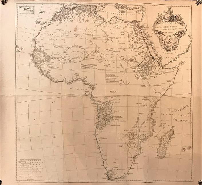
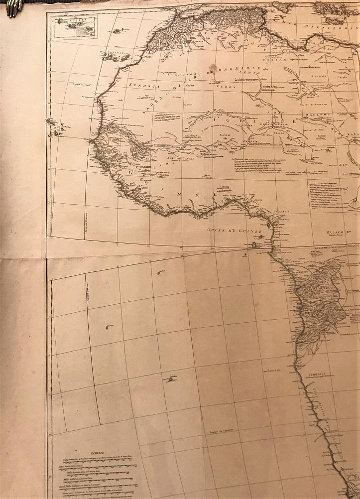
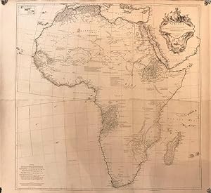
About this Item
Engraved map in two sheets and joined with outline original handcolour.114 x 104 cms.Slightly cracked and rubbed on margins.This is one of the larger and most important and influential maps of the XVIII century. He had already published a map in 1727 but was updated by this map published in 1749.This map is considered nowadays rare as it appears in some composite french atlases either published by Anville or other cartographers. Anville was a prolific publisher and cartographer active in the first half of the XVIII century in France. Ref: Tooley Maps of Africa p 3-4. Seller Inventory # 0618032020
Bibliographic Details
Title: Afrique, publié sous les auspices de ...
Publisher: Paris
Publication Date: 1749
Binding: Sin Encuadernar
Condition: Muy bien
Store Description
We guarantee the condition of every book as it's described on the Abebooks web sites. If you're dissatisfied with your purchase (Incorrect Book/Not as Described/Damaged) or if the order hasn't arrived, you're eligible for a refund within 30 days of the estimated delivery date. If you've changed your mind about a book that you've ordered, please use the Ask bookseller a question link to contact us and we'll respond within 2 business days.
Los gastos de envío están calculados sobre la base del peso de un libro de 2.2 LB ó 1 KG. Si su pedido es demasiado grande o pesado, nosotros podemos ponernos en contacto con usted para comunicarle que gasto de envío adicional es requerido.
Payment Methods
accepted by seller
Check Bank/Wire Transfer