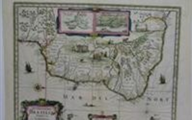
1633 Map Nova Virginiae Tabula - Henricus Hondius
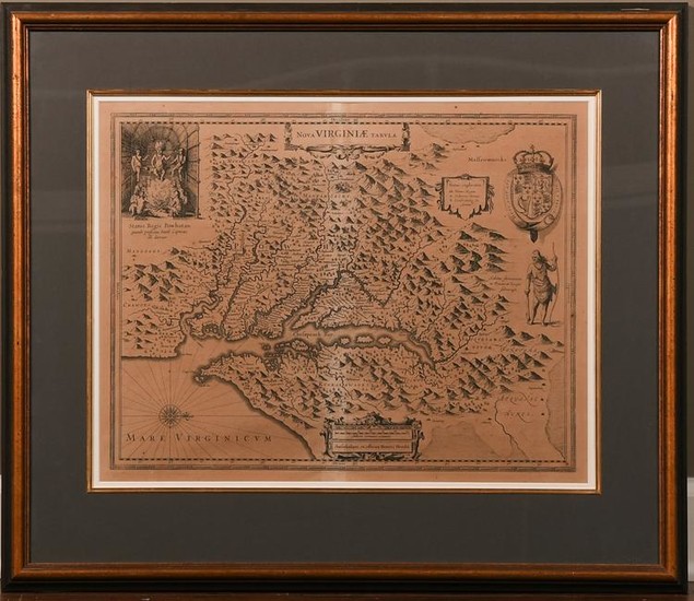
Nova Virginiae Tabula map by Henricus Hondius (1597-1651). Undated, published circa 1633. This map is the 5th derivative of John Smith's 1612 map of Virginia, which was the first printed map of the Chesapeake Bay and the first to assign names to topographical features. Literature: Burden, The Mapping of North America 228, state 1; Koeman, Atlantes Neelandici Me 31 A #72; Taylor, American Colonies, p. 125-132; Verner, 165-166.
Dimensions are: sight size - 20 inches wide X 15 3/4 inches tall; framed - 28 1/2 inches wide X 24 5/8 inches tall. All measurements are approximate.
View it on
Sale price
Estimate
Time, Location
Auction House
Nova Virginiae Tabula map by Henricus Hondius (1597-1651). Undated, published circa 1633. This map is the 5th derivative of John Smith's 1612 map of Virginia, which was the first printed map of the Chesapeake Bay and the first to assign names to topographical features. Literature: Burden, The Mapping of North America 228, state 1; Koeman, Atlantes Neelandici Me 31 A #72; Taylor, American Colonies, p. 125-132; Verner, 165-166.
Dimensions are: sight size - 20 inches wide X 15 3/4 inches tall; framed - 28 1/2 inches wide X 24 5/8 inches tall. All measurements are approximate.
