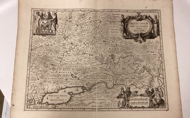
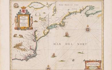
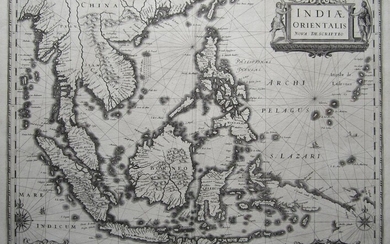
1645 Jansson Map of Portugal and Parts of Spain
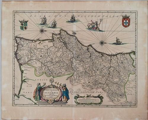
Title: 1645 Jansson Map of Portugal and Parts of Spain -- Portugallia et Algarbia quae olim Lusitania
Cartographer: J Jansson
Year / Place: 1645, Amsterdam
Map Dimension (in.): 15.1 X 19.6 in.
This is a very attractive double-page map showing the Kingdoms of Portugal and Algarve, and extends from the south coast to east to Sevilla Province of Spain. The map orients north to the right, per two compass roses. Great deal of settlement, topographical, river, etc. detail is presented. Key cities shown include Lisbon(a), Porto, Faro, Guarda and Sevilla(e). A large title cartouche flanked by two surveyors are at the bottom of the map. There are numerous additional artistic embellishments including ships, coats-of-arms, and a festively-attired Neptune astride a sea monster. The cartography is based on F A Secco, a Portuguese chart maker. Latin text on verso.
Reserve: $400.00
Shipping:
Domestic: Flat-rate of $24.00 to anywhere within the contiguous U.S.
International: Foreign shipping rates are determined by destination. International shipping may be subject to VAT.
Combined shipping: Please ask about combined shipping for multiple lots before bidding.
Location: This item ships from Ohio
Your purchase is protected:
Photos, descriptions, and estimates were prepared with the utmost care by a fully certified expert and appraiser. All items in this sale are guaranteed authentic.
In the rare event that the item did not conform to the lot description in the sale, Jasper52 specialists are here to help. Buyers may return the item for a full refund provided you notify Jasper52 within 5 days of receiving the item.
Condition Report: Very Good. On laid paper. Slight toning. Issued centerfold. Nicely hand-colored.
View it on
Estimate
Time, Location
Auction House
Title: 1645 Jansson Map of Portugal and Parts of Spain -- Portugallia et Algarbia quae olim Lusitania
Cartographer: J Jansson
Year / Place: 1645, Amsterdam
Map Dimension (in.): 15.1 X 19.6 in.
This is a very attractive double-page map showing the Kingdoms of Portugal and Algarve, and extends from the south coast to east to Sevilla Province of Spain. The map orients north to the right, per two compass roses. Great deal of settlement, topographical, river, etc. detail is presented. Key cities shown include Lisbon(a), Porto, Faro, Guarda and Sevilla(e). A large title cartouche flanked by two surveyors are at the bottom of the map. There are numerous additional artistic embellishments including ships, coats-of-arms, and a festively-attired Neptune astride a sea monster. The cartography is based on F A Secco, a Portuguese chart maker. Latin text on verso.
Reserve: $400.00
Shipping:
Domestic: Flat-rate of $24.00 to anywhere within the contiguous U.S.
International: Foreign shipping rates are determined by destination. International shipping may be subject to VAT.
Combined shipping: Please ask about combined shipping for multiple lots before bidding.
Location: This item ships from Ohio
Your purchase is protected:
Photos, descriptions, and estimates were prepared with the utmost care by a fully certified expert and appraiser. All items in this sale are guaranteed authentic.
In the rare event that the item did not conform to the lot description in the sale, Jasper52 specialists are here to help. Buyers may return the item for a full refund provided you notify Jasper52 within 5 days of receiving the item.
Condition Report: Very Good. On laid paper. Slight toning. Issued centerfold. Nicely hand-colored.


