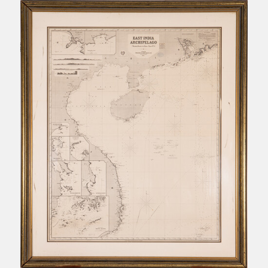
A Map of East India Archipelago Chart No. 5, 1871
A Map of East India Archipelago Chart No. 5, 1871,
Western route to China. Showing Hainan Island, Peninsula of Lein-Chew Mainland China.
Eight insets including Hong Kong.
Published: James Imray & Son, London, 1871.
Framed dimensions: H: 62 3/8 x W: 53 in.
Size: H: 49 3/8 W: 40
Condition: Horizontal center fold line. Minor foxing.
View it on
Estimate
Time, Location
Auction House
A Map of East India Archipelago Chart No. 5, 1871,
Western route to China. Showing Hainan Island, Peninsula of Lein-Chew Mainland China.
Eight insets including Hong Kong.
Published: James Imray & Son, London, 1871.
Framed dimensions: H: 62 3/8 x W: 53 in.
Size: H: 49 3/8 W: 40
Condition: Horizontal center fold line. Minor foxing.


