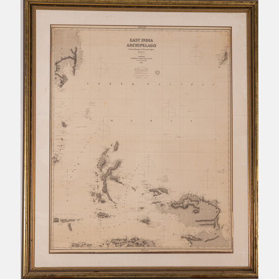
A Map of East India Archipelago Chart No. 5, 1882
A Map of East India Archipelago Chart No. 5, 1882,
Eastern passages to China and Japan. Showing the North Pacific, Northern Papua New Guinea, Halmaheira and Mindanao.
Published: James Imray & Son, London, 1882.
Two sheets No. 9 and 10.
Framed dimensions: H: 62 7/8 x W: 52 3/4 in.
Size: H: 49 1/2 W: 40 1/4
Condition: Joined horizontally. Foxing throughout. lower edge is detached from mat.
View it on
Estimate
Time, Location
Auction House
A Map of East India Archipelago Chart No. 5, 1882,
Eastern passages to China and Japan. Showing the North Pacific, Northern Papua New Guinea, Halmaheira and Mindanao.
Published: James Imray & Son, London, 1882.
Two sheets No. 9 and 10.
Framed dimensions: H: 62 7/8 x W: 52 3/4 in.
Size: H: 49 1/2 W: 40 1/4
Condition: Joined horizontally. Foxing throughout. lower edge is detached from mat.


