Alexander Map of Molokai, Hawaii
Alexander, W.D. (1833-1913)
Molokai, 1897.
Photo Lithographed Map
Philadelphia: Bien, 1897 (1901).
18 3/8" x 34 3/4" sheet, 23" x 40" framed.
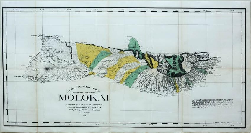
The very detailed map delineates the topography, watershed, villages, land grants, coastal detail, lava flows and property owners. At the turn of the century numerous valleys supported cattle ranches. Triangulation, boundaries and topography by Alexander and M.D. Monsarrat. The map was drawn by F.S. Dodge, C.J. Willis, and S.M. Kanakanui. An early and fascinating map of this beautiful island.
View it on
Estimate
Time, Location
Auction House
Alexander, W.D. (1833-1913)
Molokai, 1897.
Photo Lithographed Map
Philadelphia: Bien, 1897 (1901).
18 3/8" x 34 3/4" sheet, 23" x 40" framed.
The very detailed map delineates the topography, watershed, villages, land grants, coastal detail, lava flows and property owners. At the turn of the century numerous valleys supported cattle ranches. Triangulation, boundaries and topography by Alexander and M.D. Monsarrat. The map was drawn by F.S. Dodge, C.J. Willis, and S.M. Kanakanui. An early and fascinating map of this beautiful island.


