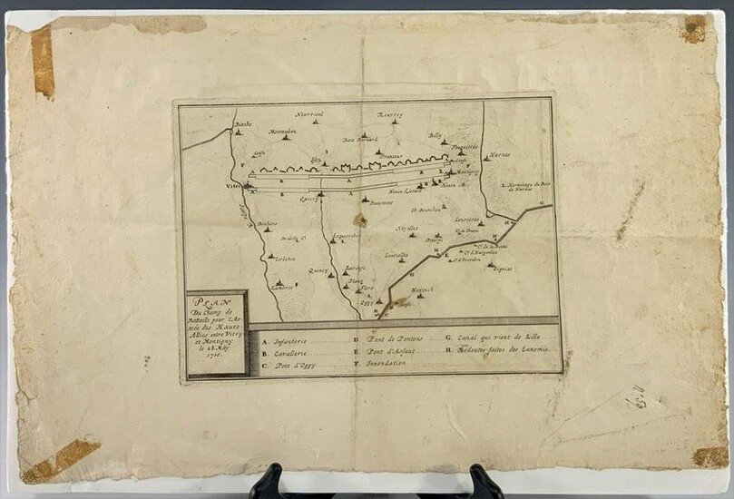
French Battle Map 1710
A French battle map of the ‘Plan du champ de Bataille pour L'Armée des Hauts Alliés entre Vitry et Montigny le 28 May 1710.’ The map is saran wrapped to a board.
Dimensions are: sight, 13 inches tall X 19 inches wide, 33.02 cm X 48.26 cm, bord measures, 13 1/2 inches tall X 19 3/4 inches wide, 34.29 cm X 50.16 cm. All measurements are approximate.
Condition: Poor condition, has been ripped out of a book or manuscript. The edges are torn with tape residue and satins.
Provenance: From a private WV collection.
View it on
Sale price
Estimate
Time, Location
Auction House
A French battle map of the ‘Plan du champ de Bataille pour L'Armée des Hauts Alliés entre Vitry et Montigny le 28 May 1710.’ The map is saran wrapped to a board.
Dimensions are: sight, 13 inches tall X 19 inches wide, 33.02 cm X 48.26 cm, bord measures, 13 1/2 inches tall X 19 3/4 inches wide, 34.29 cm X 50.16 cm. All measurements are approximate.
Condition: Poor condition, has been ripped out of a book or manuscript. The edges are torn with tape residue and satins.
Provenance: From a private WV collection.


