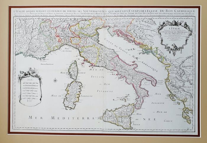
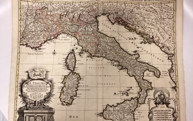
Italy; Alexis Hubert Jaillot - L'Italie Distinguee Suivant L'Estendue de tous Les Etats Royaumes Republiques Duches Principautes... - 1681-1700
This Geographical Map is an original "DOUBLE ENGRAVING on COPPER" from 1696. This Double Map comes from the rare work / Atlas entitled: "Atlas Nouveau . . . . . published in Paris in 1696, by one of the greatest and most innovators of seventeenth-century French cartography, Alexis Hubert JAILLOT, successor of N. SANSON. The measurements of the map inserted in an elegant passepartout are quite large, approximately: Cm 115 x 80 (including margins . . .) - The measures of the DOUBLE MAP united are approximately: Cm 68 x 98 - The measures of the SINGLE MAP are approximately: Cm 68 x 49 - The measurements of the full double map, inserted in the Passepartout, are approximately: Cm 115 X 80 The map in question is quite intact with the light and coeval coloring. This map, as mentioned before, is made up of 2 large sheets, which together form the entire area of Italy, including the islands. These 2 sheets are glued on a single sheet of slightly thick thickness, just to make the map perfect in everything, clean, without creases, without waving, therefore, I can say that in this way the map is smooth and therefore perfect to be inserted in the passepartout. Ultimately, this map is quite rare, uncommon and very beautiful, as the photos themselves especially demonstrate.
[ translate ]View it on
Estimate
Time, Location
Auction House
This Geographical Map is an original "DOUBLE ENGRAVING on COPPER" from 1696. This Double Map comes from the rare work / Atlas entitled: "Atlas Nouveau . . . . . published in Paris in 1696, by one of the greatest and most innovators of seventeenth-century French cartography, Alexis Hubert JAILLOT, successor of N. SANSON. The measurements of the map inserted in an elegant passepartout are quite large, approximately: Cm 115 x 80 (including margins . . .) - The measures of the DOUBLE MAP united are approximately: Cm 68 x 98 - The measures of the SINGLE MAP are approximately: Cm 68 x 49 - The measurements of the full double map, inserted in the Passepartout, are approximately: Cm 115 X 80 The map in question is quite intact with the light and coeval coloring. This map, as mentioned before, is made up of 2 large sheets, which together form the entire area of Italy, including the islands. These 2 sheets are glued on a single sheet of slightly thick thickness, just to make the map perfect in everything, clean, without creases, without waving, therefore, I can say that in this way the map is smooth and therefore perfect to be inserted in the passepartout. Ultimately, this map is quite rare, uncommon and very beautiful, as the photos themselves especially demonstrate.
[ translate ]


