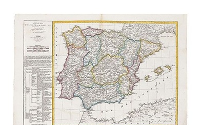
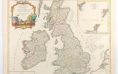
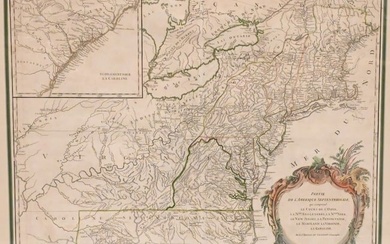
Lot of four maps on Africa.
Henri DU SAIZET
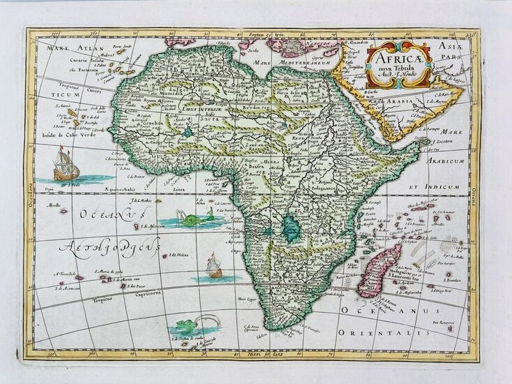
Africae nova Tabula Auct. I. Hondio1734
Incisione su rame colorata. 180x250 mm. Margini.
Unito con: Robert DE VAUGONDY
L’Afrique.Paris, post 1790
Carta geografica con coloritura out-line, mm. 490x320. Margini.La carta di Vaugondy fu rivista e corretta da Charles Francois Delamarche, il quale fondò a Parigi la Maison Delamarche alla fine del XVIII secolo e acquistò i rami delle mappe di Robert de Vaugondy.
Unito con:Petrus BERTIUS - Jodocus HONDIUS.
Descriptio Orbis PtolomaicaAmsterdam 1616Carta geografica colorata. 95x135 mm. Margini.
Rara carta del Mondo come decritto da Claudio Tolomeo nel primo secolo A.C. La mappa fu inserita nell’opera di P. Bertius ‘Tabularum Geographicarum Contractarum’, pubblicata ad Amsterdam da Jodocus Hondius nel 1616.
Unito con:Pierre BOURGOIN
Carte universelle de Ptolomée. 1739Incisione su rame, 210x165 mm. Margini.
Mappamondo che descrive il mondo conosciuto e descritto da Tolomeo. La mappa fu inserita nell’opera enciclopedica di Noel Antoine Pluche “Le spectacle de la nature”, Volume IV, Paris 1739.
Condition Report: Henri DU SAIZET.Africae nova Tabula Auct. I. Hondio1734Colored copper engraving published by Du Sauzet in Amsterdam in 1734
Bound with:Robert DE VAUGONDY.L’Afrique. Paris, post 1790Geographic map with ou-line coloring, mm. 490x320. Margins.
Vaugondy's map was revised and corrected by Charles Francois Delamarche. Delamarche founded the important and prolific Paris based Maison Delamarche map publishing firm in the late 18th century. A lawyer by trade Delamarche entered the map business with the acquisition from Jean-Baptiste Fortin of Robert de Vaugondy's map plates and copyrights and later addes many plates from other sources as well.Bound with:Petrus BERTIUS - Jodocus HONDIUS.Descriptio Orbis Ptolomaica.Amsterdam 1616Colored geographical map. 95x135 mm. Margins.Scarce world map, based upon the writings of Claudius Ptolemy, showing the world as known in the first century, A.D. The map was included in the work of P. Bertius 'Tabularum Geographicarum Contractarum', published in Amsterdam by Jodocus Hondius in 1616.
Bound with:Pierre BOURGOIN.
Carte universelle de Ptolomée. 1739Copper engraving, 210x165 mm. Margins.Globe describing the world known and described by Ptolemy. The map was included in Noel Antoine Pluche's encyclopedic work "Le spectacle de la nature", Volume IV, Paris 1739.
Estimate
Time, Location
Auction House
Henri DU SAIZET
Africae nova Tabula Auct. I. Hondio1734
Incisione su rame colorata. 180x250 mm. Margini.
Unito con: Robert DE VAUGONDY
L’Afrique.Paris, post 1790
Carta geografica con coloritura out-line, mm. 490x320. Margini.La carta di Vaugondy fu rivista e corretta da Charles Francois Delamarche, il quale fondò a Parigi la Maison Delamarche alla fine del XVIII secolo e acquistò i rami delle mappe di Robert de Vaugondy.
Unito con:Petrus BERTIUS - Jodocus HONDIUS.
Descriptio Orbis PtolomaicaAmsterdam 1616Carta geografica colorata. 95x135 mm. Margini.
Rara carta del Mondo come decritto da Claudio Tolomeo nel primo secolo A.C. La mappa fu inserita nell’opera di P. Bertius ‘Tabularum Geographicarum Contractarum’, pubblicata ad Amsterdam da Jodocus Hondius nel 1616.
Unito con:Pierre BOURGOIN
Carte universelle de Ptolomée. 1739Incisione su rame, 210x165 mm. Margini.
Mappamondo che descrive il mondo conosciuto e descritto da Tolomeo. La mappa fu inserita nell’opera enciclopedica di Noel Antoine Pluche “Le spectacle de la nature”, Volume IV, Paris 1739.
Condition Report: Henri DU SAIZET.Africae nova Tabula Auct. I. Hondio1734Colored copper engraving published by Du Sauzet in Amsterdam in 1734
Bound with:Robert DE VAUGONDY.L’Afrique. Paris, post 1790Geographic map with ou-line coloring, mm. 490x320. Margins.
Vaugondy's map was revised and corrected by Charles Francois Delamarche. Delamarche founded the important and prolific Paris based Maison Delamarche map publishing firm in the late 18th century. A lawyer by trade Delamarche entered the map business with the acquisition from Jean-Baptiste Fortin of Robert de Vaugondy's map plates and copyrights and later addes many plates from other sources as well.Bound with:Petrus BERTIUS - Jodocus HONDIUS.Descriptio Orbis Ptolomaica.Amsterdam 1616Colored geographical map. 95x135 mm. Margins.Scarce world map, based upon the writings of Claudius Ptolemy, showing the world as known in the first century, A.D. The map was included in the work of P. Bertius 'Tabularum Geographicarum Contractarum', published in Amsterdam by Jodocus Hondius in 1616.
Bound with:Pierre BOURGOIN.
Carte universelle de Ptolomée. 1739Copper engraving, 210x165 mm. Margins.Globe describing the world known and described by Ptolemy. The map was included in Noel Antoine Pluche's encyclopedic work "Le spectacle de la nature", Volume IV, Paris 1739.
