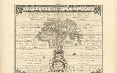
Map of Ukraine, M. Pitt, ca. 1685
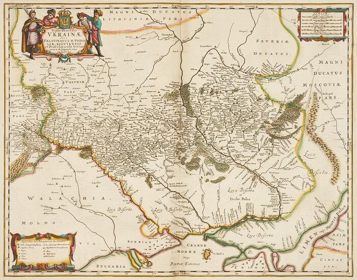
TYPUS GENERALIS UKRAINAE SIVE PALATINATUUM PODOLIAE, KIOVIENSIS ET BRACZLAVIENSIS TERRA NOVA DELINEATIONE EXHIBENS, engraved by Jan Jansson, based on Guillaume La Vasseur de Beauplan's map, published by Moses Pitt, Amsterdam, circa 1685. Copperplate engraving on laid paper with hand coloring map of Ukraine, divided into provinces, with surrounding regions and other areas of interest identified in Latin text. Decorative title cartouche with a coat of arms flanked by four men, top left, scale of miles and legend cartouches, top right and lower left. Surrounded by scale notations yellow line border. Two pages of Latin text, en verso. Unframed. Image: 16 1/2" H x 21" W. Plate: 17" H x 21 5/8" W. Sheet: 20 1/4" H x 23 5/8" W. Note: Pitt's map is one of the earliest maps to include the name Ukraine in the title of a printed map, following shortly after the Treaty of Zboriv in 1649.
Condition Report: Overall good condition with scattered minute foxing spots, 1" x 4" area of dampstaining, top center of sheet (does not affect image). 3/4" area of loss top right edge of sheet. 2 1/4" x 3/4" area of white archival tape, visible top right en verso. 1" tear to overlapping pages, visible en verso.
View it on
Sale price
Estimate
Time, Location
Auction House
TYPUS GENERALIS UKRAINAE SIVE PALATINATUUM PODOLIAE, KIOVIENSIS ET BRACZLAVIENSIS TERRA NOVA DELINEATIONE EXHIBENS, engraved by Jan Jansson, based on Guillaume La Vasseur de Beauplan's map, published by Moses Pitt, Amsterdam, circa 1685. Copperplate engraving on laid paper with hand coloring map of Ukraine, divided into provinces, with surrounding regions and other areas of interest identified in Latin text. Decorative title cartouche with a coat of arms flanked by four men, top left, scale of miles and legend cartouches, top right and lower left. Surrounded by scale notations yellow line border. Two pages of Latin text, en verso. Unframed. Image: 16 1/2" H x 21" W. Plate: 17" H x 21 5/8" W. Sheet: 20 1/4" H x 23 5/8" W. Note: Pitt's map is one of the earliest maps to include the name Ukraine in the title of a printed map, following shortly after the Treaty of Zboriv in 1649.
Condition Report: Overall good condition with scattered minute foxing spots, 1" x 4" area of dampstaining, top center of sheet (does not affect image). 3/4" area of loss top right edge of sheet. 2 1/4" x 3/4" area of white archival tape, visible top right en verso. 1" tear to overlapping pages, visible en verso.
