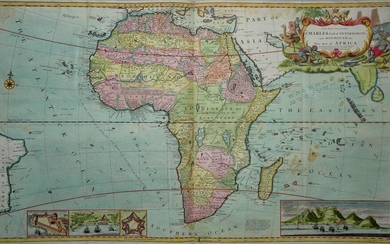
Moll World Map, 1719
[World]
MOLL, Herman (1654-1732).
New and Correct Map of the Whole World.
Engraved map with original hand color or full.
London: Printed for J. & T. Bowles, 1719.
28 1/4" x 47 7/8" sheet.
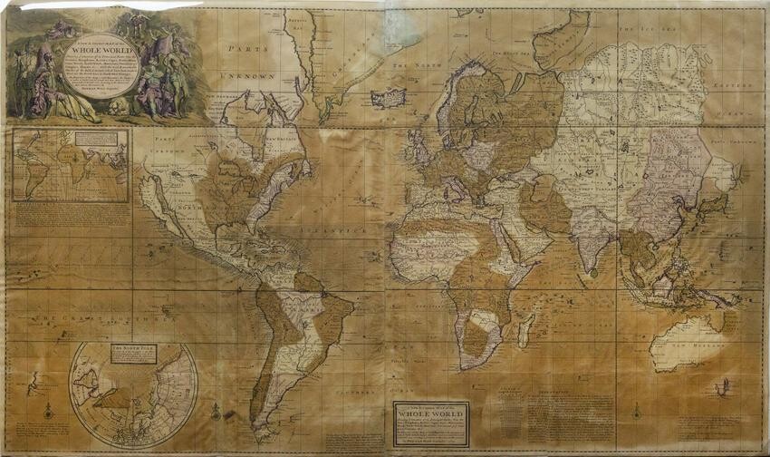
Large, attractive world map. Large swathes of North America marked "Parts Unknown," California depicted as an island, and the coastline of New Holland left incomplete. London-based cartographer Herman Moll produced this world map to document the numerous expeditions undertaken by English explorers searching for an ocean passage to Asia and in the settlement of the Americas. In addition to notes on climate and weather events, Moll also included an early rendering of the trade winds in this map. Shown as small arrows and curving lines, Moll based his depiction on the first meteorological map produced by Edmund Halley in 1686, with new information provided by actual explorers, including the recorded observations of erstwhile pirate Woodes Rogers. The seasonal trade winds were critical to efficient navigation of oceans in the 18th century.
View it on
Sale price
Estimate
Time, Location
Auction House
[World]
MOLL, Herman (1654-1732).
New and Correct Map of the Whole World.
Engraved map with original hand color or full.
London: Printed for J. & T. Bowles, 1719.
28 1/4" x 47 7/8" sheet.
Large, attractive world map. Large swathes of North America marked "Parts Unknown," California depicted as an island, and the coastline of New Holland left incomplete. London-based cartographer Herman Moll produced this world map to document the numerous expeditions undertaken by English explorers searching for an ocean passage to Asia and in the settlement of the Americas. In addition to notes on climate and weather events, Moll also included an early rendering of the trade winds in this map. Shown as small arrows and curving lines, Moll based his depiction on the first meteorological map produced by Edmund Halley in 1686, with new information provided by actual explorers, including the recorded observations of erstwhile pirate Woodes Rogers. The seasonal trade winds were critical to efficient navigation of oceans in the 18th century.
