RUSSELL, JOHN. Map of the State of Kentucky with the Adjoining Territories. Engraved...
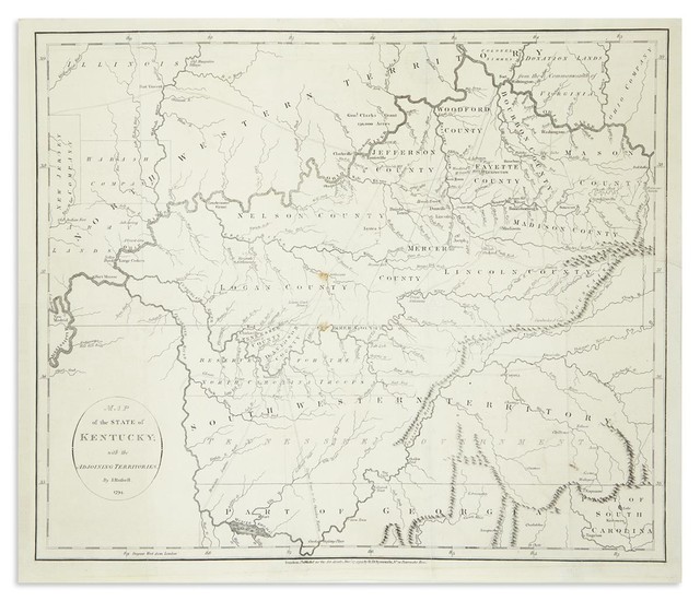
RUSSELL, JOHN. Map of the State of Kentucky with the Adjoining Territories. Engraved folding map on wove paper watermarked "JWhatman/1794". 16x18 1/2 inches sheet size, ample margins; several small marginal repairs and fold reinforcements, minor spotting, else quite nice. London: H.D. Symonds, 1794.
Estimate $700 - 1,000
Fine early map of the region between the Ohio and Tennessee Rivers extracted from William Winterbotham's "Historical Geographical, Commercial, and Philosophical View of the American United States."
Price Realized (with Buyer's Premium) $1,375
View it on
Sale price
Estimate
Time, Location
Auction House
RUSSELL, JOHN. Map of the State of Kentucky with the Adjoining Territories. Engraved folding map on wove paper watermarked "JWhatman/1794". 16x18 1/2 inches sheet size, ample margins; several small marginal repairs and fold reinforcements, minor spotting, else quite nice. London: H.D. Symonds, 1794.
Estimate $700 - 1,000
Fine early map of the region between the Ohio and Tennessee Rivers extracted from William Winterbotham's "Historical Geographical, Commercial, and Philosophical View of the American United States."
Price Realized (with Buyer's Premium) $1,375


