Tahiti. Cook (James), Carte de L'Isle D'Otahiti par le Lieutenant J. Cook, 1774
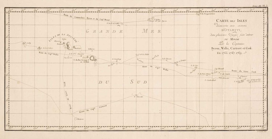
Tahiti & South Sea Islands. Cook (James), Carte de L'Isle D'Otahiti par le Lieutenant J. Cook, 1774, uncoloured engraved map, some staining and offsetting, old folds, 240 x 410 mm, together with Carte des isles découvertes aux environs D'Otahiti dans plusiers Voyages faits autour du Monde par les Capitaines Byron, Wallis, Carteret et Cook en 1765, 1767, 1769, circa 1774, uncoloured engraved map, old folds, 250 x 515 mm, with Neele (Samuel). Plan of Cook's Bay [with inset map] Plan of Easter Island taken in April 1786, G. G. & J. Robinson, 1798, two uncoloured engraved maps and four horizon profiles on one sheet (as published), slight staining, 390 x 500 mm, together with Débarquement à Tanna l'une des Nouvelles Hébrides, Vue D'Anamooka & Débarquement à Middleburgh l'ine des Isles Friendly (Des Amis), circa 1774, together three uncoloured engravings old folds, each approximately 225 x 470 mm, with La Perouse (Jan Francois de Galaup). Massacre de MM. de Langle , Lamanon et de dix autres individus des deux Equipages, [1797], uncoloured engraving, slight spotting and staining to the margins, 290 x 420 mm, plus Benoist (Phillipe). Vue de la Baie D'Umata (Ile de Guam), circa 1860, uncoloured lithograph after de Saison, 270 x 360 mm, and two further engravings of South Sea native artefacts and and sheet of horizon profiles of the Sandwich Islands, various sizes and condition
(Qty: 10)
View it on
Estimate
Time, Location
Auction House
Tahiti & South Sea Islands. Cook (James), Carte de L'Isle D'Otahiti par le Lieutenant J. Cook, 1774, uncoloured engraved map, some staining and offsetting, old folds, 240 x 410 mm, together with Carte des isles découvertes aux environs D'Otahiti dans plusiers Voyages faits autour du Monde par les Capitaines Byron, Wallis, Carteret et Cook en 1765, 1767, 1769, circa 1774, uncoloured engraved map, old folds, 250 x 515 mm, with Neele (Samuel). Plan of Cook's Bay [with inset map] Plan of Easter Island taken in April 1786, G. G. & J. Robinson, 1798, two uncoloured engraved maps and four horizon profiles on one sheet (as published), slight staining, 390 x 500 mm, together with Débarquement à Tanna l'une des Nouvelles Hébrides, Vue D'Anamooka & Débarquement à Middleburgh l'ine des Isles Friendly (Des Amis), circa 1774, together three uncoloured engravings old folds, each approximately 225 x 470 mm, with La Perouse (Jan Francois de Galaup). Massacre de MM. de Langle , Lamanon et de dix autres individus des deux Equipages, [1797], uncoloured engraving, slight spotting and staining to the margins, 290 x 420 mm, plus Benoist (Phillipe). Vue de la Baie D'Umata (Ile de Guam), circa 1860, uncoloured lithograph after de Saison, 270 x 360 mm, and two further engravings of South Sea native artefacts and and sheet of horizon profiles of the Sandwich Islands, various sizes and condition
(Qty: 10)
