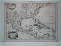
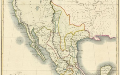
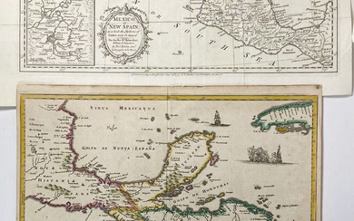
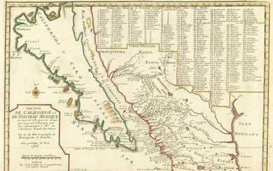
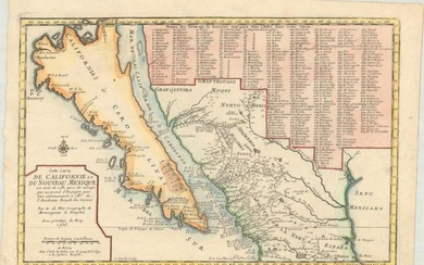
Carte du Mexique et de la Floride des Terres Angloises et des Isles Antilles du Cours et des Environs de la Riviere de Mississipi.
By De L'Isle, Guillaume
Delisle, G. "Atlas", [1700-1704], No. 26 De L'Isle, well known map of the West Indies and Southern U.S., reworked by his relative and successor Phillippe Buache who was the great exponent of theoretical geography in France. Of note is the fact that the source of both the Rio Grande and the Mississippi are well detailed, considering the period., Size : 495x664 (mm), 19.5x26.125 (Inches), Original Outline Coloring, 0
Published by: Buache, P, Paris, 1745
Vendor: Alexandre Antique Prints, Maps & Books
Buy Now on
By De L'Isle, Guillaume
Delisle, G. "Atlas", [1700-1704], No. 26 De L'Isle, well known map of the West Indies and Southern U.S., reworked by his relative and successor Phillippe Buache who was the great exponent of theoretical geography in France. Of note is the fact that the source of both the Rio Grande and the Mississippi are well detailed, considering the period., Size : 495x664 (mm), 19.5x26.125 (Inches), Original Outline Coloring, 0
Published by: Buache, P, Paris, 1745
Vendor: Alexandre Antique Prints, Maps & Books
