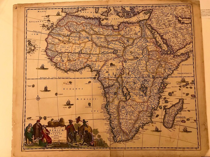
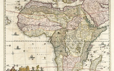
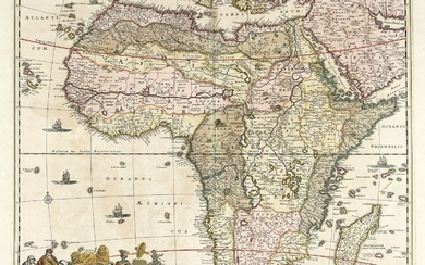
Totius Africae accuratissima tabula
By Frederick de Wit
Original engraved map with hand colour, 63 x 53 cms.Small tears in lower margins slightly touching the plate and expertly restored. Large cartouche with figures,ships and compass rose. Decorative map with wild animals and fine outline colour that is used to separate the territories inland. The map follows the conventions of this period. The Nile draws its waters in the lakes in central Africa. The map is lacking the privilege so we can assign it to state 4 (privilege was added in state 5). A fine example of this classical map of the golden dutch age of cartography.
Published by: Amsterdam, 1680
Vendor: Libreria Pontes
Buy Now on
By Frederick de Wit
Original engraved map with hand colour, 63 x 53 cms.Small tears in lower margins slightly touching the plate and expertly restored. Large cartouche with figures,ships and compass rose. Decorative map with wild animals and fine outline colour that is used to separate the territories inland. The map follows the conventions of this period. The Nile draws its waters in the lakes in central Africa. The map is lacking the privilege so we can assign it to state 4 (privilege was added in state 5). A fine example of this classical map of the golden dutch age of cartography.
Published by: Amsterdam, 1680
Vendor: Libreria Pontes


