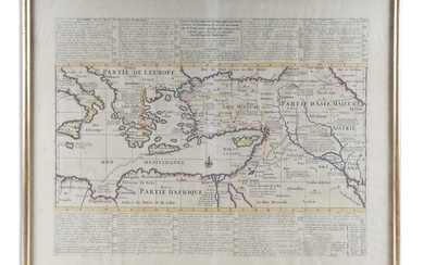
1719 Henri Chatelain Map of Mexico and Florida
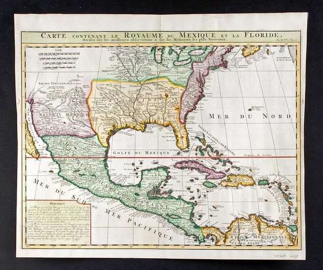
Europe, France, ca. 1719 CE, published by Henri Abraham Chatelain (French, active first half of the 1700s), in his "Atlas Historique". A beautifully hand colored map of North America and the Caribbean, drawn after Guillaume De L'Isle's 1703 map of what is now the United States, Central America, and the West Indies. L'Isle's map set the standard for the next century of how these maps should look. French mapmakers were uniquely positioned at this time to make accurate maps - reports from French trappers moving around the interior waterways of the continent provided much of the content. D'Iberville, Tonty and Le Sueur, Father Gravier, and Bienville (who later became Governor of the French colony of Louisiana) all gave information to create this map. Despite these firsthand accounts, De L'Isle had a patriotic streak, seen here in the expansiveness of the French territory versus that of the English, squeezed along the East Coast. Size: 21" W x 17.75" H (53.3 cm x 45.1 cm)
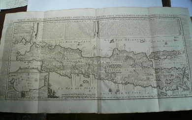
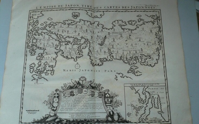
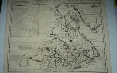
Chatelain was a Huguenot pastor of Parisian origins who lived in Paris, St. Martins, London, the Hague, and Amsterdam. He was a skilled artist whose maps combine a wealth of historical and geographical information with delicate engraving and an uncomplicated composition. His work included studies of geography, history, ethnology, heraldry, and cosmography. Chatelain, his father Zacharie Chatelain (d.1723), and brother Zacharie (1690-1754), worked as a partnership publishing the "Atlas Historique, Ou Nouvelle Introduction a L'Histoire". The atlas was published in seven volumes between 1705 and 1720, with a second edition appearing in 1732.
Another example of this map is currently available at Classical Images for $1499.
Provenance: private Glorieta, New Mexico, USA collection, acquired in 2012; ex-The History Shoppe, San Antonio, Texas, USA
All items legal to buy/sell under U.S. Statute covering cultural patrimony Code 2600, CHAPTER 14, and are guaranteed to be as described or your money back.
A Certificate of Authenticity will accompany all winning bids.
We ship worldwide to most countries and handle all shipping in-house for your convenience.
#149428
Condition Report: A few tiny tears and folds, mainly along the edges/corners, but overall in really lovely condition, very easy to read, with all details well preserved.
View it on
Estimate
Time, Location
Auction House
Europe, France, ca. 1719 CE, published by Henri Abraham Chatelain (French, active first half of the 1700s), in his "Atlas Historique". A beautifully hand colored map of North America and the Caribbean, drawn after Guillaume De L'Isle's 1703 map of what is now the United States, Central America, and the West Indies. L'Isle's map set the standard for the next century of how these maps should look. French mapmakers were uniquely positioned at this time to make accurate maps - reports from French trappers moving around the interior waterways of the continent provided much of the content. D'Iberville, Tonty and Le Sueur, Father Gravier, and Bienville (who later became Governor of the French colony of Louisiana) all gave information to create this map. Despite these firsthand accounts, De L'Isle had a patriotic streak, seen here in the expansiveness of the French territory versus that of the English, squeezed along the East Coast. Size: 21" W x 17.75" H (53.3 cm x 45.1 cm)
Chatelain was a Huguenot pastor of Parisian origins who lived in Paris, St. Martins, London, the Hague, and Amsterdam. He was a skilled artist whose maps combine a wealth of historical and geographical information with delicate engraving and an uncomplicated composition. His work included studies of geography, history, ethnology, heraldry, and cosmography. Chatelain, his father Zacharie Chatelain (d.1723), and brother Zacharie (1690-1754), worked as a partnership publishing the "Atlas Historique, Ou Nouvelle Introduction a L'Histoire". The atlas was published in seven volumes between 1705 and 1720, with a second edition appearing in 1732.
Another example of this map is currently available at Classical Images for $1499.
Provenance: private Glorieta, New Mexico, USA collection, acquired in 2012; ex-The History Shoppe, San Antonio, Texas, USA
All items legal to buy/sell under U.S. Statute covering cultural patrimony Code 2600, CHAPTER 14, and are guaranteed to be as described or your money back.
A Certificate of Authenticity will accompany all winning bids.
We ship worldwide to most countries and handle all shipping in-house for your convenience.
#149428
Condition Report: A few tiny tears and folds, mainly along the edges/corners, but overall in really lovely condition, very easy to read, with all details well preserved.
