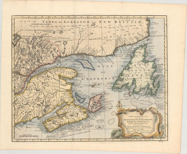
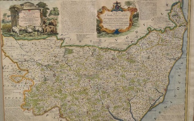
"A New & Accurate Map of the Islands of Newfoundland, Cape Breton, St. John and Anticosta; Together with the Neighbouring Countries of Nova Scotia, Canada &c...", Bowen, Emanuel
Subject: Eastern Canada
Period: 1747 (circa)
Publication: A Complete System of Geography
Color: Hand Color
Size: 13.6 x 16.8
This attractive map of the Gulf of St. Laurence is based on Bellin's definitive map of 1744. It is very detailed with hundreds of place names, especially along the coastlines. The major fishing banks are well delineated. There is a large decorative title cartouche and compass rose at bottom right. This is the state with "No. 95" at the bottom right.
References: McCorkle (18th C. Geography Books) #17-32 (Vol II); cf. Shirley (BL Atlases) T.BOW-2a #62; Kershaw #693; Phillips (A) #603-62.
Condition: A
A fine impression issued folding and now flattened.
View it on
Sale price
Estimate
Time, Location
Auction House
Subject: Eastern Canada
Period: 1747 (circa)
Publication: A Complete System of Geography
Color: Hand Color
Size: 13.6 x 16.8
This attractive map of the Gulf of St. Laurence is based on Bellin's definitive map of 1744. It is very detailed with hundreds of place names, especially along the coastlines. The major fishing banks are well delineated. There is a large decorative title cartouche and compass rose at bottom right. This is the state with "No. 95" at the bottom right.
References: McCorkle (18th C. Geography Books) #17-32 (Vol II); cf. Shirley (BL Atlases) T.BOW-2a #62; Kershaw #693; Phillips (A) #603-62.
Condition: A
A fine impression issued folding and now flattened.
