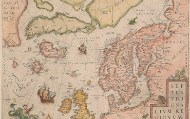
Ortelius La Florida / Peru Map
Ortelius, Abraham (1527-1598).
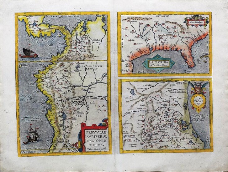
La Florida / Peruviae / Guastecan...
Engraved map with original hand color in full.
Amsterdam, 1584 or later.
16" x 21 1/4" sheet, 25 1/2" x 30 1/2" framed.
This is one of the few sixteenth century maps based on Spanish sources; in this case drawn from reports of Hernando de Soto's expedition through the region. There are three maps on this sheet. The most important map (La Florida) is the first printed map of the southeastern portion of the United States. This influential map provided the foundation cartography for the region, particularly in the depiction of the river system. (Burden, 57).
View it on
Estimate
Time, Location
Auction House
Ortelius, Abraham (1527-1598).
La Florida / Peruviae / Guastecan...
Engraved map with original hand color in full.
Amsterdam, 1584 or later.
16" x 21 1/4" sheet, 25 1/2" x 30 1/2" framed.
This is one of the few sixteenth century maps based on Spanish sources; in this case drawn from reports of Hernando de Soto's expedition through the region. There are three maps on this sheet. The most important map (La Florida) is the first printed map of the southeastern portion of the United States. This influential map provided the foundation cartography for the region, particularly in the depiction of the river system. (Burden, 57).
