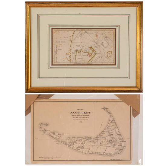
Two Maps of Cape Cod, 19th Century
Two Maps of Cape Cod, 19th Century,
Including a reproduced map of Nantucket, 1874 by Rev. F.C. Ewer, D.D. Published: John Medole, 193 Pearl St. N.Y. and an engraved map of Cape Poge and Adjacent Shoals. Published: Edmund & George W. Blunt for the American Coast Pilot 11th Edition.
Largest dimensions: H: 11 1/2 x W: 18 in.
Condition: Condition on Cape Poge: some foxing throughout.
View it on
Sale price
Estimate
Time, Location
Auction House
Two Maps of Cape Cod, 19th Century,
Including a reproduced map of Nantucket, 1874 by Rev. F.C. Ewer, D.D. Published: John Medole, 193 Pearl St. N.Y. and an engraved map of Cape Poge and Adjacent Shoals. Published: Edmund & George W. Blunt for the American Coast Pilot 11th Edition.
Largest dimensions: H: 11 1/2 x W: 18 in.
Condition: Condition on Cape Poge: some foxing throughout.


